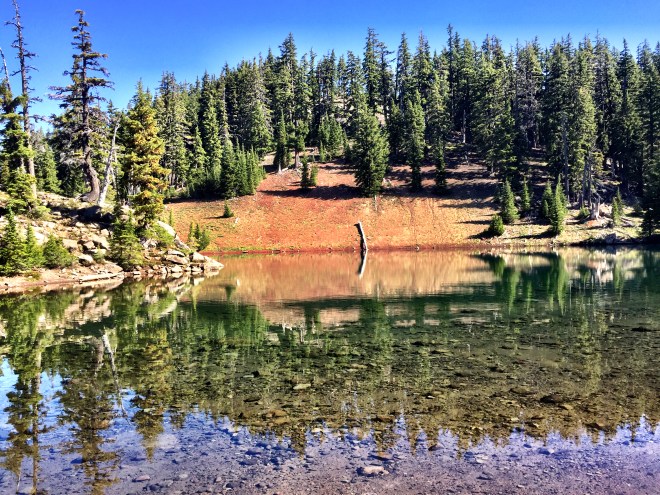
At South Mathieu Lake, mile 1977

You wouldn’t think 17 miles was any more or less difficult than earlier in this hike. Hah. Not this section. But I had to complete the 17 miles, which ended at a water source, because the following day was a 15 mile dry stretch.
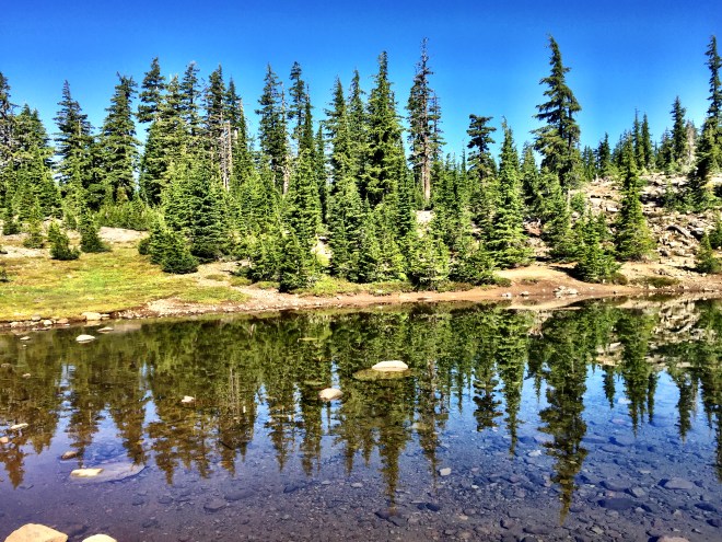
The day started out in lovely fashion, with a visit to an unnamed pond, followed by more wonderful miles along the plain.
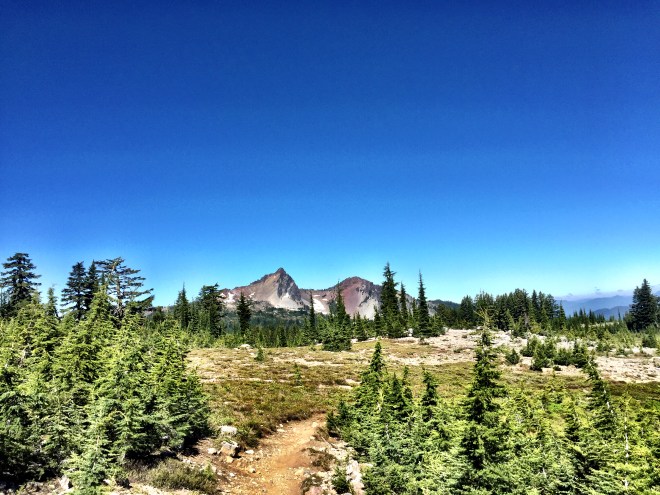
The operative word later today was Vulcanology. Midday, I entered the Obsidian Limited Entry Area. There are several of these designated spaces along the trail, where PCT hikers can walk, but not camp or otherwise leave the trail corridor. Obsidian is just that: covered with obsidian shards. It really is pretty, although I pity the hiker with thin soles on their trail runners.

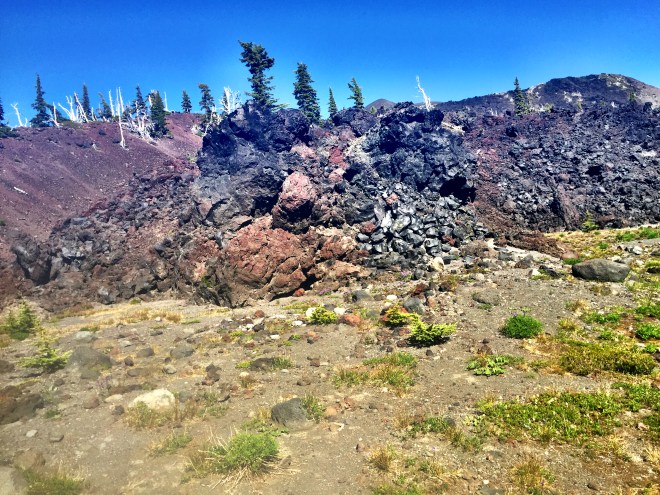
If you look at the map for central Oregon, you’ll see several large lava fields. Today was my first, but definitely not last, encounter.
Once I exited Obsidian, the trail curved east and skirted its first lava field. It climbed (and climbed) up Opie Dilldock Pass, on the Collier Cinder Cone, which is a fascinating trail, cresting at 7000 ft. The tread was rough, rocky, and sometimes unstable, and it was very exposed to the heat. Interesting as it was, I was mighty glad to start descending on the other side.
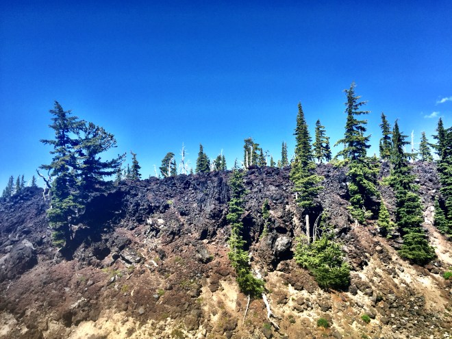
The next several miles alternated between a cinder field and a lava bed. Again, really tough on the feet, pretty unstable, and mighty hot.


I reached my destination, S. Mathieu Lake 1977, at eight. I said hi to the Scout troop in the next site, and crashed without further ado.
