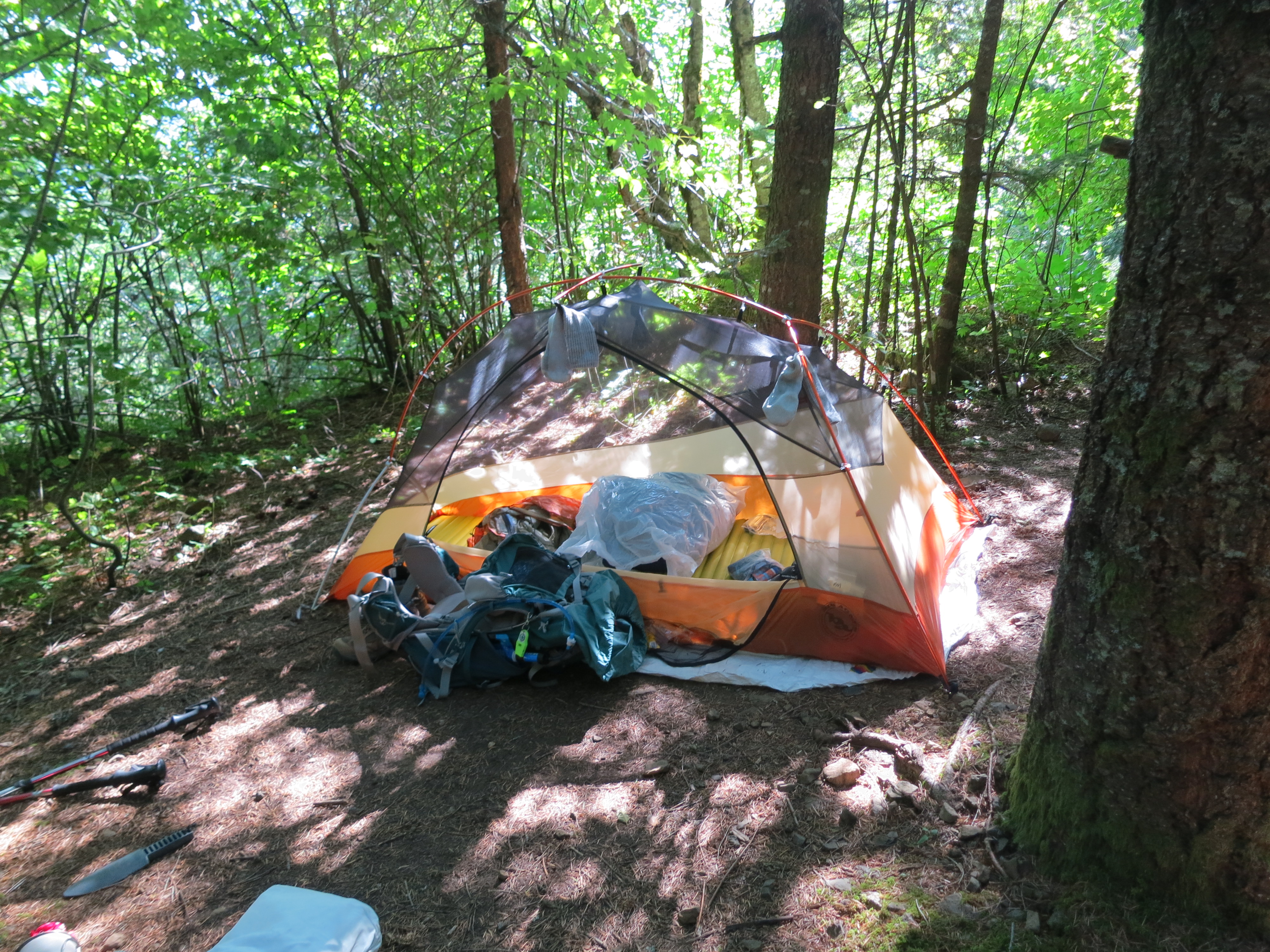
At a small campsite, Mile 2154

This is it! We got up before dawn, and had breakfast next door to the hotel. Then Steve and I walked up to the bridge. He took a few pictures, and I was on my way, a little teary with excitement, at 7:30. Mile 2144!


So my pack is heavy! I pounded out four miles by 11:00, but as the grade increased, I slowed way down. Wondering if I estimated food consumption correctly.


I was counting on loading up with water at Cedar Creek, so I had skipped Greenleaf (2150). Cedar Creek was way down a ravine, on a dirt road, with no proof of its existence. Reluctantly, I pushed on.

Fortunately it’s been wet lately, so a mile after the missing Cedar Creek junction, I crossed the seasonal stream which becomes Cedar, at approximately 2152. Loaded up on 3.5 L because there’s no water until an iffy spring at 2160 (Three Corner), and no guaranteed unto Rock Creek at 2164. That gave me just shy of a liter for every three miles. This is the water ratio I need to work out, given weather, exposure, hiking speed, and elevation gain. And for medical reasons, I need to always have extra water on hand. Running out isn’t an option, and that makes the ratio even harder to compute.

This entire section, Cascade Locks to Panther Creek, consists of two ridges/ravines, and relatively little water. As a new section hiker, it has been hard to judge my water consumption. There’s a balancing act: pack weight vs pace vs water need vs water availability vs food requirements vs estimated food requirements. My pack weight is high, my pace is low, my water need is high, the water availability is low, and I’ve got a full load of food. The lesson here is to try and find a sweet spot, and make that sweet spot an easier and easier place to find.
Met Slacker at the spring. He was really cool, and said he hopes he can do something great for his 50th. This will be awhile 🙂


Called it a day at the campsite at 2154. Nine-plus miles, 3300 feet of elevation gain, with a bitch of a pack. Tomorrow I should start about 4 lbs lighter, and I won’t have a dry spell nearly this long again. Spent an hour or so reading, and then bed before 6:30.